Let’s get right to it, shall we?
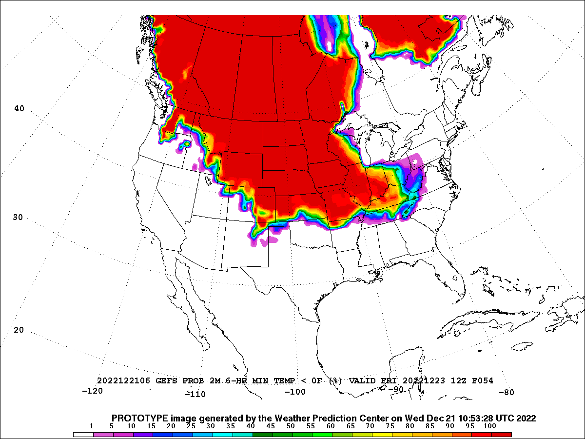
Arctic air has already surged into the Plains behind a cold front destined for the Texas Gulf Coast. As the front sinks southeastward, an area of low pressure will form along this boundary then rapidly strengthen as it translates eastward. The center of the low looks to track across the Great Lakes before setting minimum pressure records on the Canadian side of the border.
This system will antagonize air travel in several ways; unfortunately its varied impacts happen to be spread across some of the busiest holiday travel days.
Snowfall
If there’s some relatively good news to be gleaned from this narrative, it’s that no hub faces a paralyzing amount of snow. We’ll have to watch Chicago in this respect, but the forecast discussion indicates 2-5” is generally expected (with lake enhancement focused on northwest Indiana). Even so, while the snow totals aren’t particularly impressive, the bulk of any amount could fall in a relatively short period Thursday afternoon into evening.
Elsewhere, small and medium sized airports on the Great Lakes (e.g. BUF, CLE, GRR) could see locally heavy totals.
Extreme Cold
The most anomalous impact from this event figures to be record-setting cold, with wind chill advisories spanning from the Canadian border to Texas Gulf Coast. The High Plains could see wind chill values as low as minus 70. Practically, this depth of cold can result in inoperable conditions in “just” light snow—hopefully eroding any sense of security the Snowfall section might have instilled. The efficacy of anti-icing fluid is materially reduced when temperatures are below 0°F (and especially below -13°F): Given any intensity of snowfall, it may be impossible to complete the deicing process and taxi to takeoff position before requiring another spray.
Even in the absence of frozen precipitation, typical arrival and departure sequences are drawn-out as agents exposed to the cold (e.g. baggage handlers, fuelers) will need to be rotated inside frequently.
Winds
The very tight pressure gradient—owing to high pressure building behind the front and rapidly deepening low pressure along the front—will promote gusts to 50 mph across the central/northern Plains as well as Great Lakes. Just a few inches of snow can create blizzard conditions from blowing snow, so don’t seek solitude in snowfall headlines.
Ahead of the system, strong southerly winds and rain—at times heavy—hardly preclude Northeast airports from this mess. (As winds veer to 220-250°, east-southeasterly winds, for which NYC is particularly ill-suited, are mercifully forecast to occur pre-dawn on Friday.) We’re also curious about coastal flooding impacts to JFK and BOS associated with Friday morning’s high-tide.
Thunderstorms (for good measure)
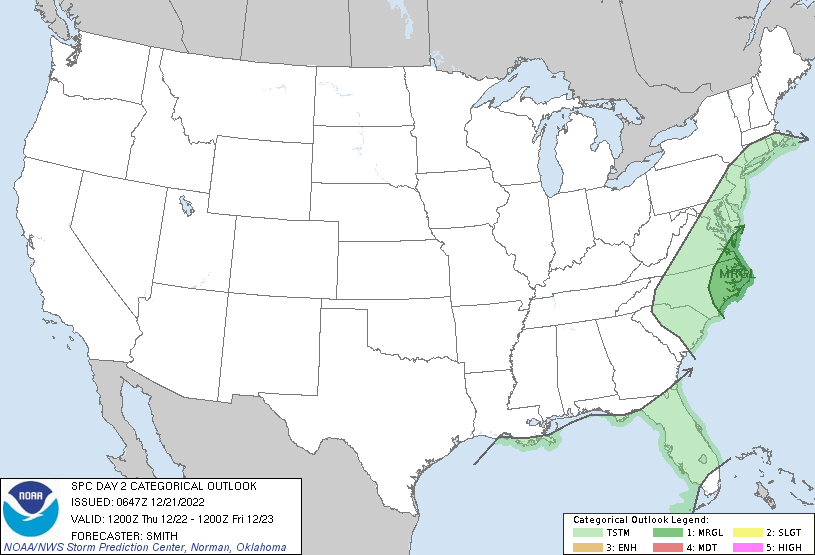
As if all of that weren’t enough, a line of low-topped convection may form in the vicinity of Baltimore-Washington Friday morning along with the frontal passage.
So how have airlines responded to the above? For starters, they’ve pretty well blanketed the country in waivers.
Your fare difference is (probably) waived
United seems to have led the pack in terms of timing, breadth and communication. They were out with their first waiver on Monday and follow-on waivers eventually covered 142 stations (more than two thirds of their domestic portfolio); they’ve also gone as far as to tweet about the availability of these waivers.
For their part, Delta has not been quite as liberal in their application, extending coverage no further south than STL. Nonetheless, a still-impressive 64 airports are covered by Delta waivers. American has proven stingiest, with 57 airports included in two waivers (and, notably, no coverage for the Intermountain West). In all cases, the rebooking window is already open.
Your original flight is (probably) disrupted
Airlines are prone to pull down regional schedules with a pretty broad brush; oppositely, they’ll hang onto international operations (where reaccommodation can take days) and hub-to-hub flights (that serve as an outlet) as long as possible. But with multiple hubs impacted, travelers might not have any more success connecting via hub 2 than hub 1 (and airlines can’t readily loan employees between hubs).
It remains to be seen whether airlines’ schedule reductions will slash demand to levels below severely-impaired airport capacities. Regardless, between cancellations, air traffic delays, some suspensions of operations and network effects, we wouldn’t bet on many smooth itineraries. Rebook if you still can!


GEG-SFO-SIN-FRA-TPA?
Around Halloween I put in for today off, kind of at random. Turns out I won the lottery. Wind chill is currently -24 up here. No thanks. Ambient temps are still good for spraying, but I heard YYC and maybe another were too cold to spray yesterday.
Also, my niece somehow managed to wind up in GEG on a buddy pass yesterday (not one of mine). She lives in TPA, and was wondering if I could see any options on how to get home. Yikes Indeed.
Is it summer yet?